
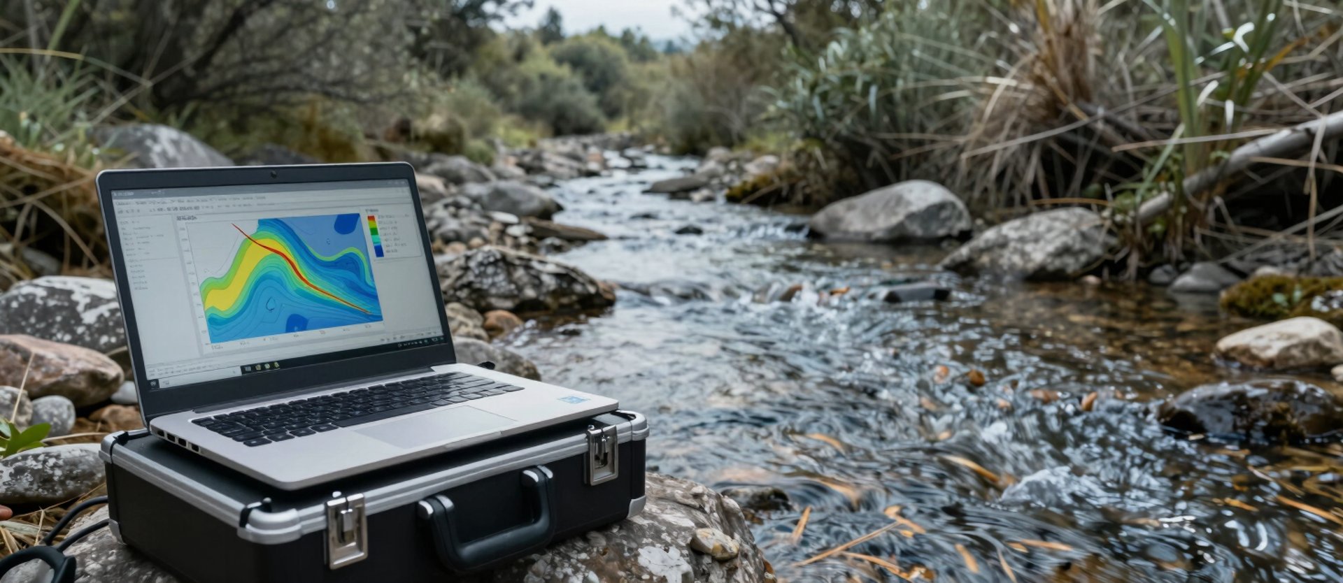
HEC-RAS models built from field-surveyed geometry
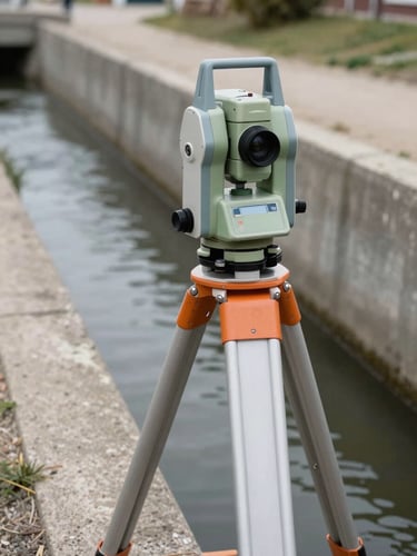
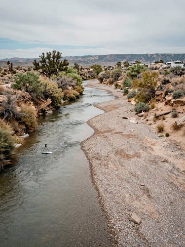
Every model in this portfolio begins with measured cross-sections collected on-site. No assumed geometries. The outputs are permit-ready and infrastructure-ready.


From municipal channels to multi-reach watershed studies
Rio Blanco Municipal Channel — Flood Frequency Analysis
Twelve surveyed cross-sections across 2,400 linear feet of concrete-lined channel. HEC-RAS steady-flow runs for 10-, 50-, and 100-year events delivered as georeferenced floodplain shapefiles.
Discharge tables and water surface profiles were formatted to FEMA submittal standards. Client: municipal public works department.
Piedra River Watershed — Multi-Reach Debris-Loading Study
Three connected reaches totaling 8.1 miles, each with field-measured bathymetry and debris volume estimates incorporated into unsteady-flow HEC-RAS runs.
Output package included pre- and post-debris-loading flood extents, enabling the watershed district to prioritize channel clearing by flood-risk reduction impact.
Decision-ready deliverables from every engagement
Water Surface Profiles
Floodplain Extents
Discharge Tables
Georeferenced shapefiles of inundation boundaries at 10-, 50-, and 100-year recurrence intervals, ready for GIS and FEMA submittals.
Tabulated peak flows and velocities at each cross-section, formatted for direct use in infrastructure design and regulatory documentation.
Longitudinal profiles for each modeled flow frequency, exportable to engineering drawing sets and permit packages.
Bring field-verified data to your next flood study
Tell us the waterway, the regulatory context, and the deliverable you need. We scope from there.