

Engineering, Surveying, Modeling
Bathymetry, debris-flow analysis, and HEC-RAS modeling built from the same field measurements — traceable from instrument to simulation.
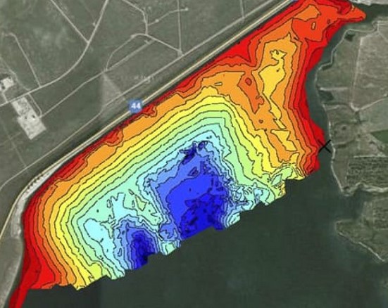
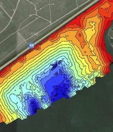
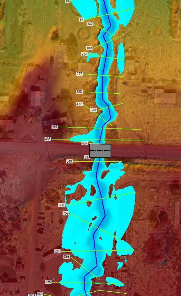
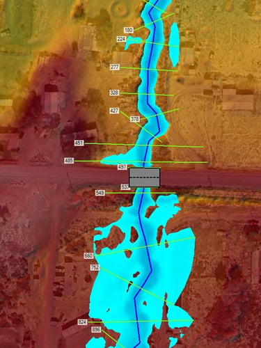
Depth profiles from instrument readings, not assumptions
Acoustic sonar surveys map the full cross-sectional geometry of a waterway. Volume calculations derived directly from those depth grids — no desk estimates, no interpolated guesses.
Deliverables include georeferenced bathymetric surfaces, cut-fill volume reports, and channel change comparisons suitable for reservoir management and permit documentation.
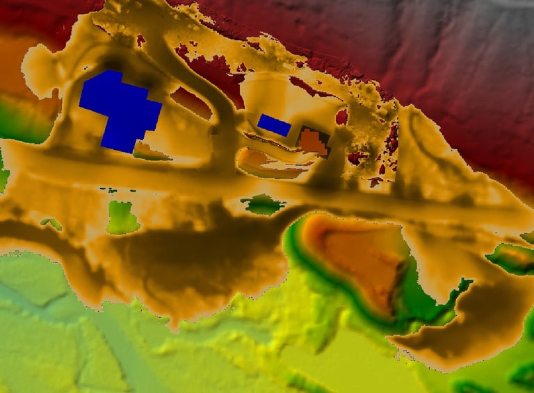
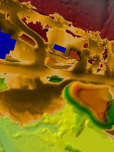
Sediment volumes mapped into the flood model
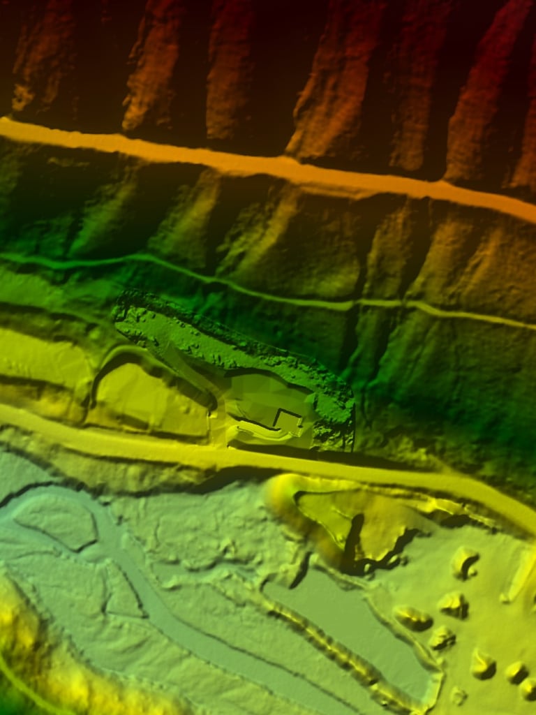
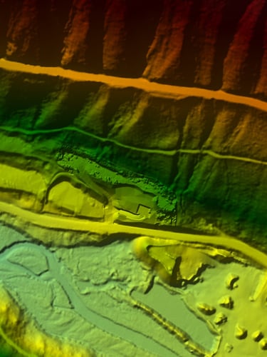
Field-documented debris loads are quantified, spatially referenced, and integrated directly into hydraulic simulations. The sediment data does not sit in a separate report — it informs the model.
Deliverables include debris volume mapping, mobility assessments, and channel blockage scenarios expressed as model boundary conditions.
Simulations built from our own survey geometry
HEC-RAS models are calibrated against the bathymetric and debris data we collected — not generic cross-sections or regional approximations. Every simulation traces back to a field measurement.
Deliverables include steady and unsteady flow models, floodplain delineations, stage-discharge relationships, and agency-ready hydraulic reports.
Field collection and model build share the same dataset
Survey geometry, debris volumes, and channel roughness values are captured in the field and moved directly into the hydraulic model. No hand-off gap, no data translation errors between teams.
The result is a flood prediction that a water manager can trace back to the instrument reading that generated it — defensible in front of a review board or a permit agency.
Know your waterway's numbers before the next decision
Bring us a waterway and a project question. We scope the survey and model work required to answer it with measured data.