
Survey data that went into real decisions
Every entry below produced a deliverable — a flood prediction, a volume report, a debris-flow map — handed directly to an engineer or water manager.
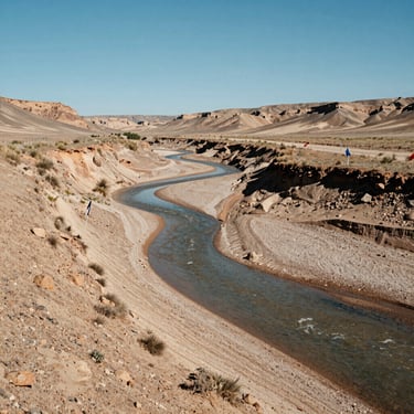
Flood Modeling
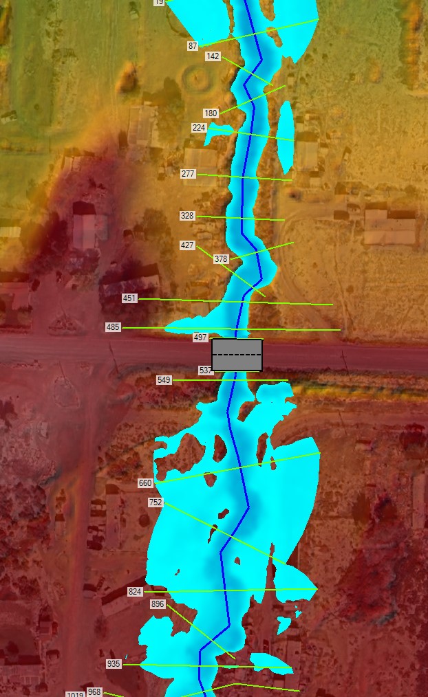
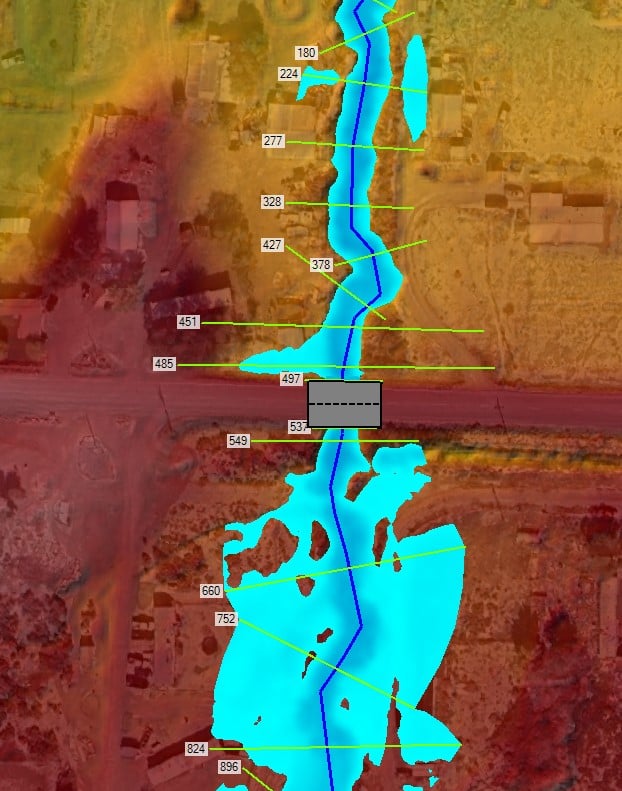
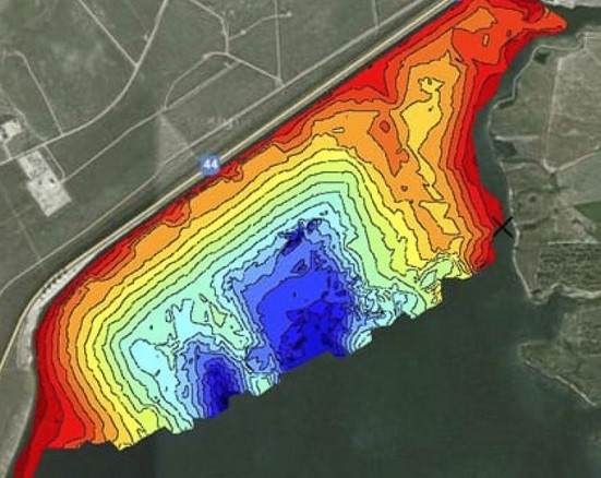
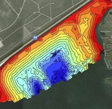
Bathymetry & Volume Surveys
Field-measured cross-sections, roughness coefficients, and boundary conditions translated into calibrated flood-prediction outputs for municipal and agency clients.
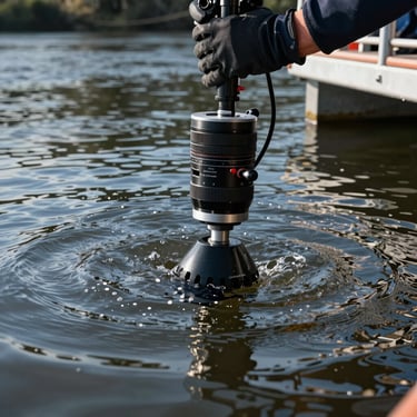
Sonar-collected depth profiles and sediment volume calculations for reservoirs, detention basins, and debris-loaded waterways across the Southwest.
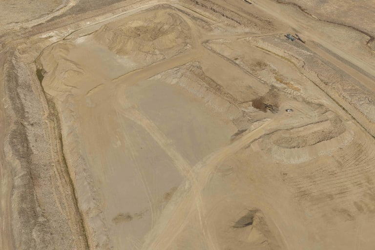
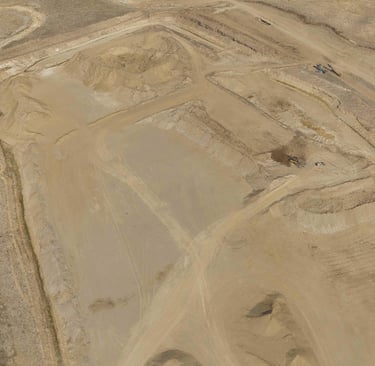
Gravel Pits
Sonar-collected depth profiles and sediment volume calculations for reservoirs, detention basins, and debris-loaded waterways across the Southwest.
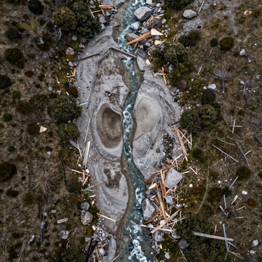
Debris Flow Analysis
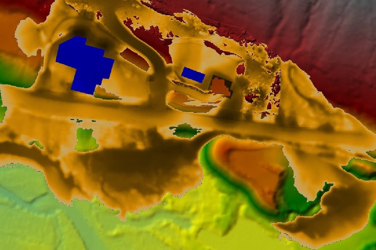
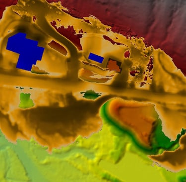
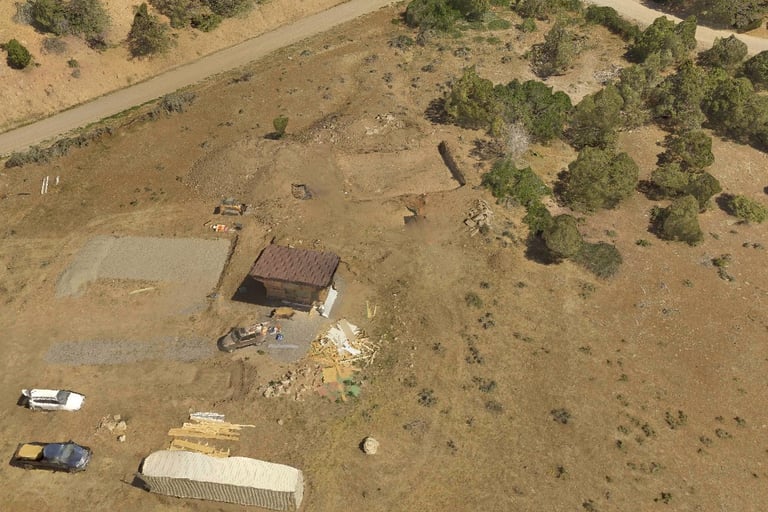
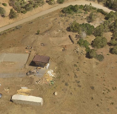
3-D Aerial Imagery/Photogrammetry
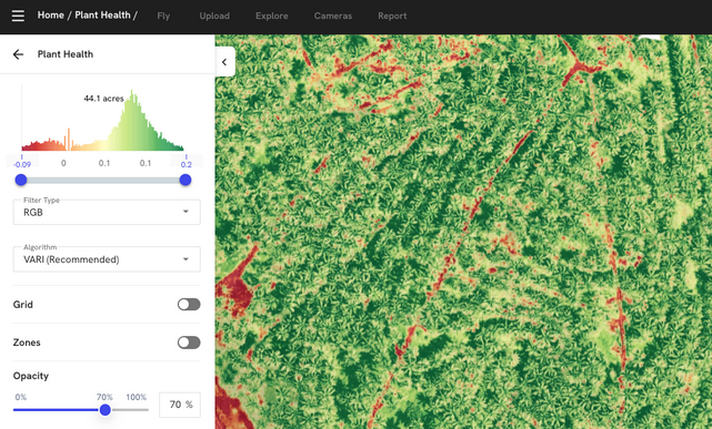
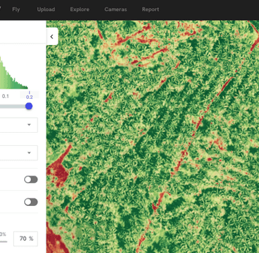
Plant Health
Field-measured cross-sections, roughness coefficients, and boundary conditions translated into calibrated flood-prediction outputs for municipal and agency clients.
Field-measured cross-sections, roughness coefficients, and boundary conditions translated into calibrated flood-prediction outputs for municipal and agency clients.
Field-measured cross-sections, roughness coefficients, and boundary conditions translated into calibrated flood-prediction outputs for municipal and agency clients.
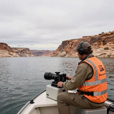

Field work across waterway types
Projects span municipal channels, watershed tributaries, and high-gradient debris corridors. Each produced model inputs and a decision-ready output report.
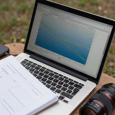
Start with the flood modeling work
The HEC-RAS case studies include raw survey inputs, model parameters, and the flood-extent outputs delivered. Start there to assess the depth of the work.