
Field work and flood modeling are the same project.
Survey data collected without a predictive destination is an incomplete deliverable. Every measurement we take is scoped from the start to feed a model — bathymetry, volume, debris load, and channel geometry become flood simulations.
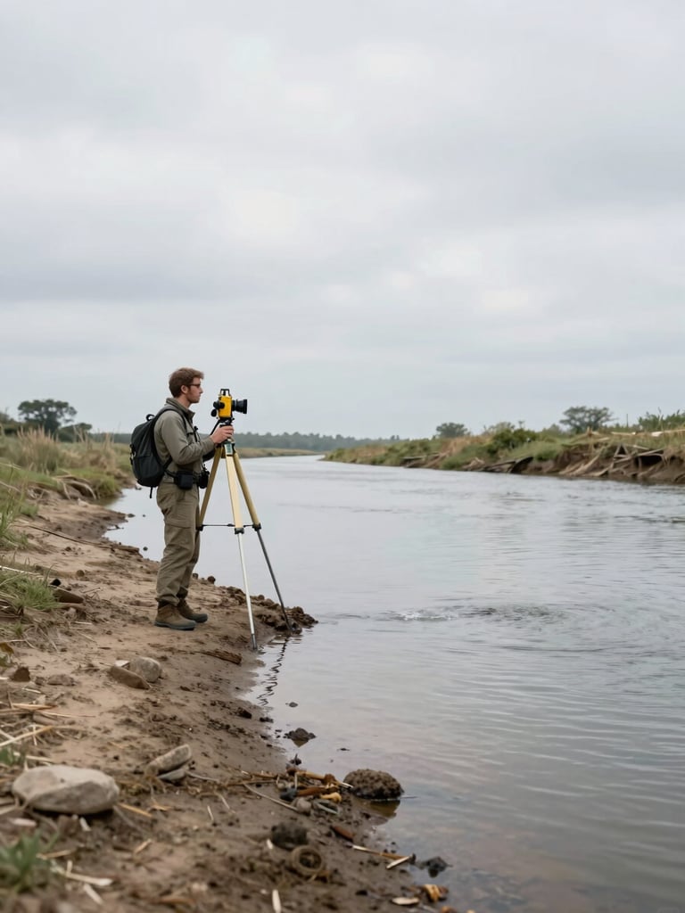

Measured in the field. Confirmed in the model.
We operate in watersheds where underestimating water carries real infrastructure and safety consequences. That context shapes every measurement decision — channel cross-sections, sediment volumes, debris loads — all scoped to feed HEC-RAS directly.
Deliverables leave our hands traceable and formatted for the engineers and agencies who receive them. No conversion step, no data-cleaning handoff — decision-ready on arrival.
The work speaks for itself.
Flood modeling engagements, bathymetric surveys, and debris-flow analyses — completed, delivered, and documented. Browse the portfolio to see the full scope of past projects.