
Depth profiles and volume data you can submit.
GPS-referenced transects, sonar-collected depth grids, and sediment accretion rates — formatted for reservoir operations reports and agency submissions from day one.

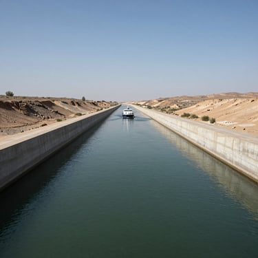
Survey sites across Southwest watersheds
Every data point field-verified, not estimated
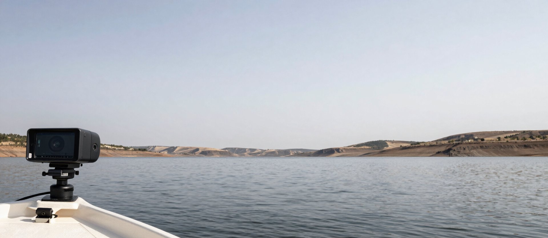
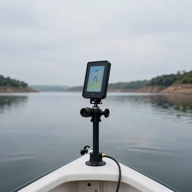
Multibeam and single-beam sonar runs are GPS-referenced at each transect. No interpolated fills replace measured depth values — the grid you receive reflects what the instrument recorded.
Volume calculations include net storage capacity alongside sediment accretion rates, giving operators a decision-ready number rather than a point-in-time snapshot.
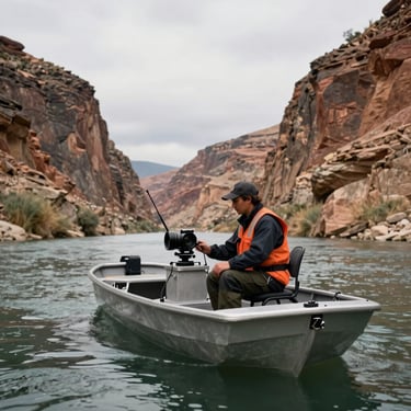
Survey instrumentation
Volume deliverables
Report formats
Gross and net storage capacity tables, sediment accretion volumes by zone, area-capacity curves, and comparison against prior survey baselines where available.
Deliverables include GIS-compatible depth grids, AutoCAD contour files, and signed PDF reports structured for regulatory submissions and reservoir operations staff.
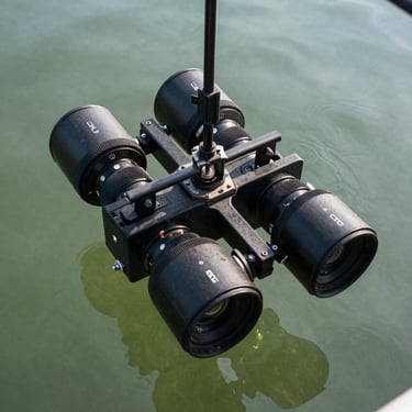
Single-beam and multibeam sonar; GPS-RTK positioning; sub-meter horizontal accuracy; depth resolution to 0.01 ft in reservoir and river channel environments.
Need storage capacity numbers for your next report?
Describe your waterway and reporting deadline. We scope bathymetric surveys around your data requirements, not a standard package.